- +254 723 679082
- info@imap.co.ke
IMAP INTERNATIONAL
Bridging geospatial gap
ONLINE SUPPORT
- +254 723679082
GEOSPATIAL SOLUTIONS THAT SUITES YOUR NEEDS
We offer an array of robust Geospatial solutions ranging from GIS, Remote sensing, Mapping, and surveying under the sun.
WHO WE ARE
STATE-OF-THE-ART GEOSPATIAL SOLUTIONS
IMAP INTERNATIONAL is a market leader in offering geospatial services in the region. We provide government, non-profit and commercial business partners with custom-fit field data collection and adding value by using Geographic Information System (GIS) solutions. By matching the demand for innovative field data collection solutions with an agile business model and visionary leadership, we continue our rapid growth by competing for and winning high-profile business. We enhance customer value through comprehensive, accurate baseline solutions, while it continues to expand into data aggregation/verification, data conversion and consulting services.
What we offer
OUR SOLUTIONS
The industry-focused solutions provided to public and private clients bring value to business through sharing quality solutions.
ICT Solutions
We are a trusted provider of ICT solutions, specializing in custom applications that drive efficiency and informed decision-making for businesses. Our expertise spans cybersecurity, ICT infrastructure, cloud services, IP-enabled solutions, and data management.
Navigation
We offer survey services that are complimentary to those provided by other consultants involved in the industry.
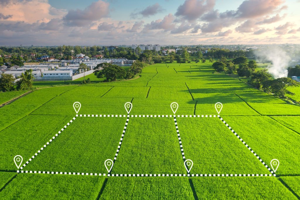
Land information management
A Land Information System (LIS) is a Geographic Information System for cadastral and land-use mapping, typically consisting of an accurate, current and reliable land record cadastre and associated attributes.
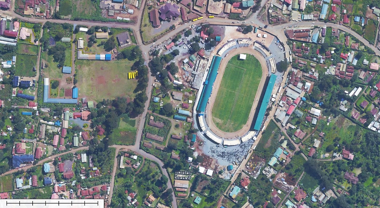
GIS & Mapping
We provide mapping services for our clients to collect and systematize location related data. From data acquisition, processing, analysis, and management
SPATIAL PLAN
We provide innovative, and sustainable solutions for physical planning, spatial plan and urban development policies and frameworks
REMOTE SENSING
Imap offers to ensure accurate and cost-effective data collection which is important input for planning and designing of mapping projects.
SURVEY
We offer survey services that are complimentary to those provided by other consultants involved in the industry.
EIA
Environmental impact assessments ensure that the environmental implications of projects are analysed and understood prior to construction.
TRAINING
We offer a wide range of hands on Geo-spatial courses and endeavour to developing skills to various institutions and individuals
IMAP INTERNATIONAL LTD
Talk to us
- Mombasa Road, Repren Complex, 1st Floor suite 10
- +254 (0) 723679082
- info@imap.co.ke
Transforming Geospatial (GIS) Data Into Knowledge
We believe technology that helps describe the changes on our planet should be accessible to all professionals and decision-makers alike. We strive to bring new solutions to the market that delivers on these promises without incurring a cost that will make it inaccessible except to the few privileged stakeholders. Geospatial data should be open and accessible to everyone.
Our process
Gather data
we collect data in the field
Analyze & Interpret Data
Analyze the collected data
Present Data
present the information
24/7 Support
+254 723679082
Our Patners
For years we’ve worked a range of clientele from individuals, small businesses, large companies and international organizations. Our clients span the very largest global companies, down to non-profits and local government. We’re proud of the work we’ve done, and the unique depth of knowledge it has allowed us to to build, for the benefit of future clients.


An African Company With Global Reach
At IMAP INTERNATIONAL, we are your partners in creating a geospatial future, where your needs are met with excellence, and your data is turned into actionable insights.
Quick Links
Support
Follow us:
Copyright © 2022 IMAP INT. Ltd. Powered by Novahost Kenya